Dear Community,
As I sit down to write this letter to you all, I have warmth in my heart and a smile on my face. 2019 was another year to rejoice in. It was a year filled with so much growth, community support, and abundance. I celebrate the opportunity to share with you all of the ways we grew as a center.
It is pretty amazing to reflect on the massive generosity of our donors and community. Because of all of you, Vajrapani became debt-free for the first time in decades! We were also able to streamline our operating systems and reduce some expenditures while investing in more sustainable practices.
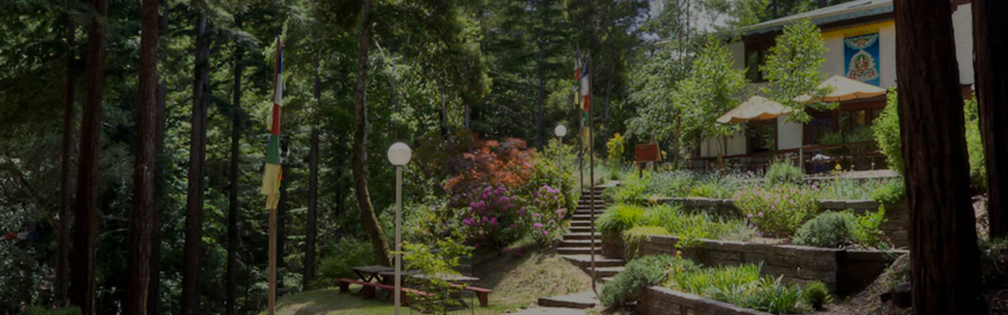
2019 was also a year filled to the brim with amazing retreat offerings with wonderful teachers. We were able to host two retreats with Rob Preece, two retreats with Glen Svensson, as well as group retreats led by powerful teachers like Geshe Gelek, Geshe Sherab, Gyumed Khensur Rinpoche Lobsang Jampa, Venerable Amy Miller, and our Resident Teacher Elaine Jackson. Alongside these wonderful offerings, we also hosted several secular retreats such as Cultivating Emotional Balance, Compassion Cultivation Training, and Mindfulness-Based Stress Reduction. In addition to our calendar, we also hosted an array of groups from different spiritual traditions through our Facility Rental program. I rejoice in the knowing that we helped create the causes for these beings to benefit from the blessings of this precious land.
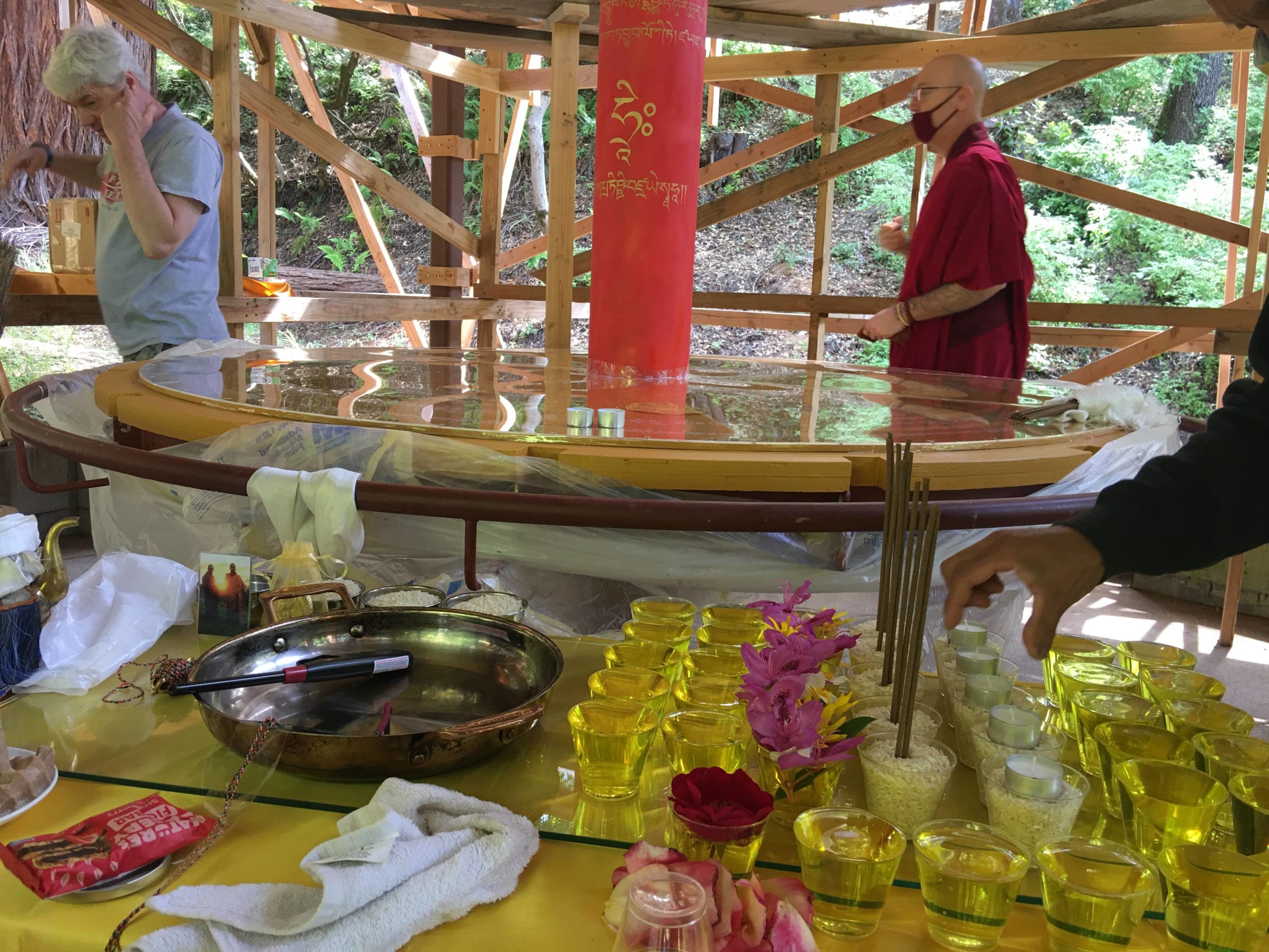
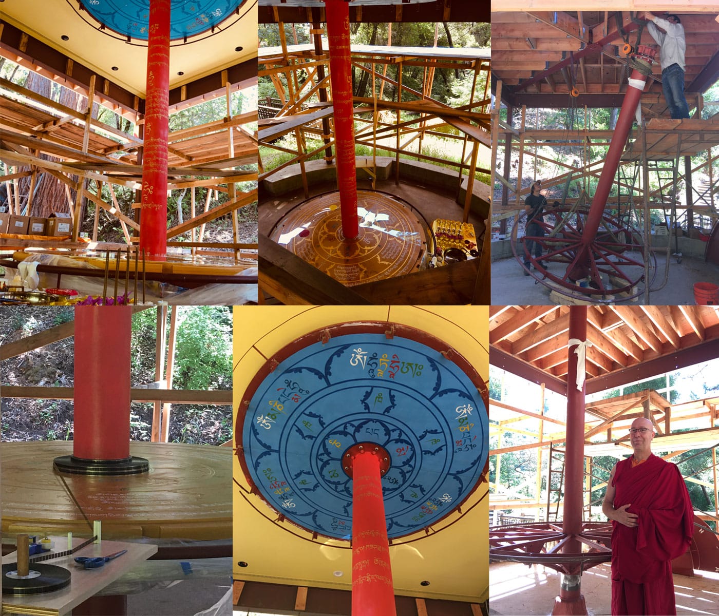
In addition to a wonderful program year, we made significant progress on our Prayer Wheel project. Truly, a remarkable sight to see this magnificent project continue to unfold.
Of course, none of this is possible without the support of the special people that come to offer service to Vajrapani. 2019 saw various wonderful staff members come and go. This allowed for the opportunity for even more amazing beings to come and help steward this special place. I extend my deepest thanks to all who have come and gone from Vajrapani and offered their service. Regardless of the length of time here, you all have made a lasting imprint that will reverberate out to all who walk these lands for generations to come.
Lastly, as you may have imagined, I am writing this letter to you now in 2020, amidst the COVID-19 pandemic. During these challenging times, I am rejoicing that due to the abundance of last year, the generosity of donors like you, and in particular, one very generous donor – we were able to not only become debt-free, but also, these funds have become paramount in sustaining Vajrapani through these difficult times. What a huge blessing! In 2019, we planned for a very fruitful 2020 program calendar. Although that inevitably has changed, we are able to utilize funds raised in 2019 towards essential upgrades to our aging buildings and infrastructures. These upgrades ensure the health of Vajrapani’s land and facilities for many years to come.
As I end this letter, my heart is full. Thank you for all of your continued support of Vajrapani. Thank you for sharing your practice with us. Thank you for your generous donations of financial resources, time, energy, and love – we feel all of it and are truly grateful. Vajrapani would simply not exist without the support of those who come, those who wish to develop their minds in the Dharma, and for those that believe in its mission to help all beings transform their minds.
Much Love,

Heidi Oehler
Executive Director